2026
West Point Redoubts – Virtual Exploration Platform
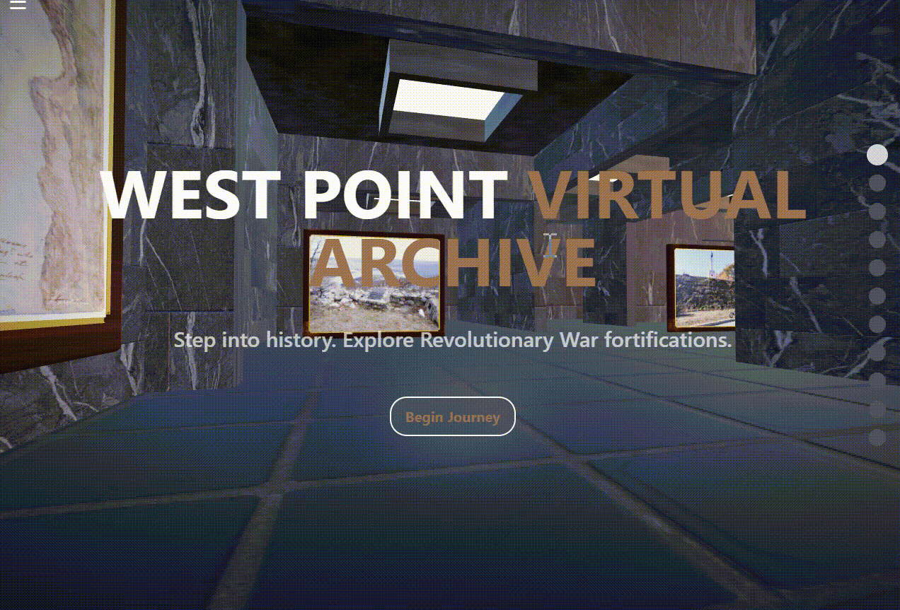
We are currently developing a virtual exploration platform for West Point’s Revolutionary War fortification sites for the U.S Army Corps of Engineers. The experience combines spatial mapping based on LiDAR and GPR data, historic research, and interpretive content to guide users through key redoubts and landscape features, extending our cultural resource documentation work at West Point into an accessible digital format.
Services Highlighted: Custom Software Development, LiDAR and GPR site modelling, virtual reconstruction and visualization
November 2025
Mystic Valley Parkway Improvement Project – Mystic Lakes Region
As subconsultant on the Mystic Valley Parkway Improvement Project in the Mystic Lakes region, we completed a cultural resource reconnaissance and intensive (locational) archaeological survey along proposed roadway and parkway improvements. Drawing on decades of Section 106/110 NHPA compliance experience in Massachusetts, our team identified several ancient cultural sites for avoidance and protection, evaluated precontact and historic-period sensitivity, and documented stone walls and other cultural features. Testing included over 300 shovel test pits (STPs) optimally positioned for historic and precontact features. A total of 473 artifacts were recovered, 122 of which were precontact, across 11 archaeological sites, in an overall successful collaboration with the Mystic Valley Watershed Association, the Department of Conservation and Recreation, and the local historic commission for the continued preservation of the Mystic Lakes region.
Services Highlighted: Archaeological reconnaissance and intensive survey, NHPA Section 106/110 compliance support, avoidance and protection planning
August 2025
Ridge Road Wireless Facility – Cultural Resources Sensitivity Assessment
For a proposed Verizon Wireless / SBA Communications cell tower on Ridge Road in Hardwick, MA, we prepared a cultural resources sensitivity assessment. Our team completed a half-mile MHC records review and targeted field verification of soils, terrain, stone walls, and potential archaeological features, and assessed the cultural and archaeological sensitivity at the tower site. The survey also documented a potentially significant 18th-century Massachusetts Turnpike No. 6 tollhouse foundation requiring avoidance and protection.
Services Highlighted: Cultural resources sensitivity assessment, MHC records review, targeted field survey
August 2025
George Hill, Fay Mountain & Soap Hill Roads – Archaeological Reconnaissance Survey
We conducted an archaeological reconnaissance survey for approximately 2.5 miles of roadway improvements along George Hill Road, Fay Mountain Road, and Soap Hill Road in Grafton, MA. The work combined documentary research, field walkover, and soil-core testing to evaluate disturbance, intact soil horizons, and archaeological sensitivity, supported by GPS stone-wall inventory and photographic documentation. We identified sensitive precontact and historic-period areas and provided clear recommendations for avoidance and monitoring.
Services Highlighted: Archaeological reconnaissance survey, soil-core testing, sensitivity mapping, feature documentation
March 2025
Battery Energy Storage System (BESS) – Cultural Resources Sensitivity Assessment, Oakham, MA
We completed a cultural resources due-diligence review and field sensitivity assessment for an 18-acre parcel in Oakham, MA proposed for a battery energy storage system (BESS). The investigation documented deeply disturbed soils, extensive former junkyard redeposition, and assessed the cultural and archaeological sensitivity for the property while recording stone wall features recommended for avoidance. The work integrated desktop research, field verification, and regulatory review to support small-parcel energy development.
Services Highlighted: Due-diligence review, field sensitivity assessment, regulatory coordination
2024
Utility and Infrastructure Projects – New England Region
We conduct comprehensive archaeological assessments and cultural resource management for utility and infrastructure upgrades across New England. We perform field testing for both reconnaissance and intensive surveys, as well as Phase 1, Phase 2, and Phase 3 archaeological investigation projects. Our work includes historic deed research, mapping, and extensive use of online state cultural resource GIS systems. We provide our clients with PNF submittals, GIS shapefiles, and project recommendations, and we engage with Tribal authorities and encourage their participation; we also provide documentation and informative sessions for historic commissions, property owners, and interested stakeholders. Our reports and recommendations are on file with the state agencies of Massachusetts, Rhode Island, Maine, New Hampshire, Vermont, and New York.
Services Highlighted: GIS services, historic research, compliance assessments
2024
Hope Cemetery – Worcester, MA
At Hope Cemetery in Worcester, Massachusetts, we conducted a Ground Penetrating Radar (GPR) survey to help the Friends of Hope Cemetery rediscover some of the city’s earliest founders. Historical records indicated that a grass-covered area contained 111 individuals whose remains had been relocated during downtown development, potentially with their stone markers. Our GPR survey successfully identified grave locations and associated gravestone anomalies, allowing 250-year-old colonial headstones dating to 1777 to be brought back to the surface and considered for interpretive display.
Services Highlighted: GPR cemetery survey, grave and marker mapping, heritage interpretation
2024
Office of Historic Preservation – Decatur, Alabama
For the Office of Historic Preservation in Decatur, we conducted targeted archaeological investigations and geophysical analyses to assess the impact of development on culturally significant areas. Our findings provided key data for informed preservation planning.
Services Highlighted: Archaeological assessments, GPR, remote sensing, mitigation strategies
2024
Ethel Florida State Park – Cultural Resource Management
Our work at Ethel Florida State Park involved in-depth geophysical surveys and remote sensing to map and protect historical features within the park boundaries. The project identified, mapped, and conveyed sites for Park administrators while facilitating park enhancements.
Services Highlighted: Archaeological mapping, GPR surveys, cultural resource documentation
2024
Saugus Project Conversion to Park – Department of Cultural Resources
We collaborated with the Massachusetts Department of Conservation and Recreation on the Saugus Project, which transformed an abandoned/reclaimed site into a community park. Our team used deed research, historic maps and field review to identify historic uses of the site to enrich the public display and experience in the new park.
Services Highlighted: Deed research, Historic document review, archaeological site analysis, heritage management
2024
GPR Ground Truthing – 1777 Headstone Discovery
During a ground truthing operation involving GPR, we discovered and uncovered a historically significant 1777 headstone. This project required a combination of advanced geophysical capabilities and in-depth fieldwork to uncover and document buried historical assets.
Services Highlighted: GPR, archaeological ground truthing, historical documentation